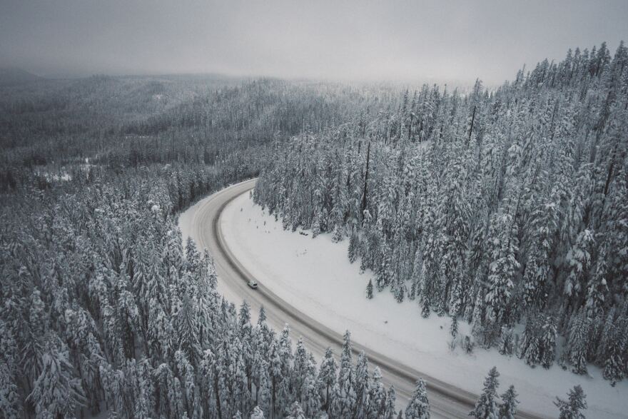
Snowstorms moving through Southern Oregon and Northern California counties boosted the regionŌĆÖs snowpack, but have yet to return them to normal levels.
Southern OregonŌĆÖs snowpack increased by 30% in the last week, according to the National Weather Service. The Rogue and Umpqua Basins are now at 88% of normal for snowpack. CaliforniaŌĆÖs western Siskiyou county is lower, at 70% of normal.
Despite the accumulating snowpack in the mountains, the regionŌĆÖs water year, a measurement of precipitation since the beginning of October, also remains below average.
ŌĆ£We had such a dry October and November we got off to a bad start for our water year,ŌĆØ says Misty Firmin, a meteorologist with MedfordŌĆÖs National Weather Service, ŌĆ£For Medford proper weŌĆÖre only at 56% of normal.ŌĆØ
Much of southern Oregon and parts of CaliforniaŌĆÖs Siskiyou and Modoc Counties are listed as ŌĆ£abnormally dryŌĆØ, the lowest ranking by the .
ŌĆ£WeŌĆÖre catching up but we had a pretty rough start, so I think thatŌĆÖs why we have an abnormally dry category,ŌĆØ Firmin says.
More snow in the mountains and rain at lower elevations is likely to boost those numbers in the coming weeks.


